SIGNUP
 Sold out
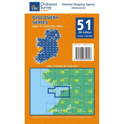
Sheet 51 is avaialble as a weatherproof product. Discovery maps are produced at a scale of 1:50,000 (or 2cm on paper equals 1 kilometre on the grou...
View full details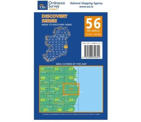
 Sold out
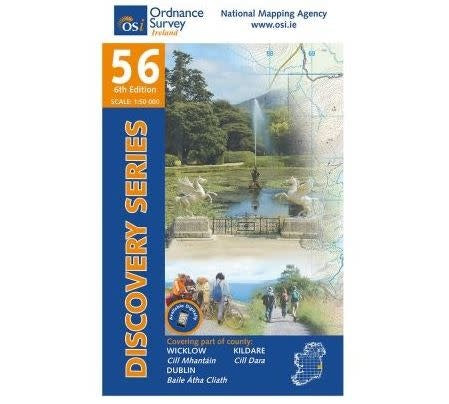
Weatherproof Map OSI 56 Parts of Wicklow, Dublin and Kildare
 Sold out
Sheet 51 is avaialble as a weatherproof product. Discovery maps are produced at a scale of 1:50,000 (or 2cm on paper equals 1 kilometre on the grou...
View full details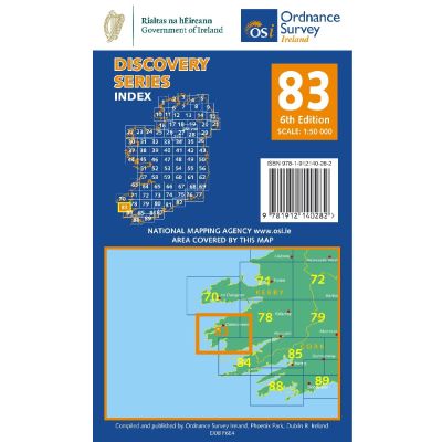
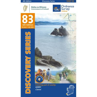
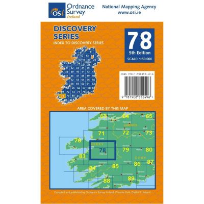
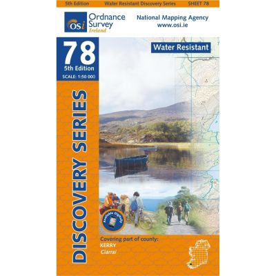
Discovery maps are produced at a scale of 1:50,000 (or 2cm on paper equals 1 kilometre on the ground). Each Discovery Sheet covers an area of 40km ...
View full details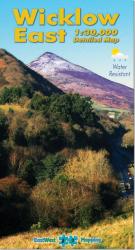 Sold out
Map covers from Bray to Wicklow town and inland from the coast to Sally Gap. The area is a mixture of urban & rural terrain with a surprising n...
View full details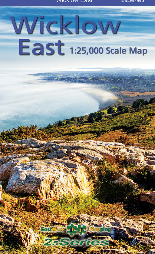
Definitive detailed map from our 25Series of Wicklow at 1:25,000 scale covering from Bray to Wicklow Town and Roundwood to the Irish Sea.Definitive...
View full details Sold out
For recreational users who visit the Wicklow Mountains for hillwalking- rambling- family walks- cycling- birdwatching- heritage and local history e...
View full details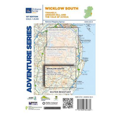
 Sold out
Ordnance Survey of Ireland's 1:25.000 Adventure series of maps.
 Sold out
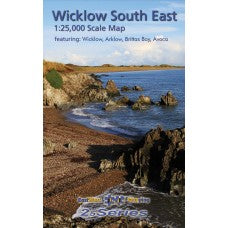
Definitive detailed map from our 25Series of South East Wicklow at 1:25,000 scale covering the coast from Wicklow town to Arklow and inland to Rath...
View full details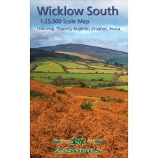
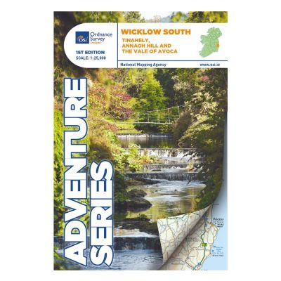
Definitive detailed map from our 25Series of South Wicklow at 1:25,000 scale covering from Shillelagh and Knockananna in the west to Arklow and the...
View full detailsMaps
Hikers planning day walks in Ireland frequently discover that getting to and from the correct starting point in rural hiking locations can be difficult. An updated travel map of Ireland not only provides a picture of the Green Island's geographic setting, but it also illustrates which country roads go to national parks and hiking trails.Hiking /travel maps illustrates not just the specifics of the road network, but also all of the mountain ranges. Perhaps you will discover a hiking area that you were unaware of. Travel maps are considered to be a smart decision for when offbeat adventures in Ireland. Well, isn’t it better to be well prepared and well-informed?
Ordnance Survey Maps
The OSI (Ordnance Survey Ireland) website provides online access to Ordnance Survey maps published between 1829 and 1913, as well as genealogical information (location of schools, graveyards, churches, etc.). The Ordnance Survey Maps are Ireland's official hiking maps and have a lengthy history. Ireland was the first country to be completely surveyed on a wide basis between 1829 and 1842. The travel maps made in this are designed for Hiking that is at the heart of the outdoors. Be prepared for every type of journey with the right gear.
Waterproof Map Cases
Our waterproof document wallets keep important documents dry. A map case can come in handy if you're hiking in an area with a lot of intersecting trails and dirt roads where it's easy to get lost, where you're unfamiliar with the terrain, or where many of the land characteristics, such as parallel ridges and rounded hills, appear the same. They're also highly useful in places where it rains all the time and travel maps printed on waterproof paper are scarce, which explains their appeal in Ireland and many other nations that still publish maps on paper.
Here at Basecamp, we have a wide and varied range of hiking equipment to suit all levels of experience - and what's a better companion for the hills than a map? No need for an internet signal here. We have a number of Ordnance Survey Ireland maps and guides available for most trails and mountain routes. We also stock laminated and covered versions in store.